Drive west on I-80 through Nebraska. It is flat. It is empty. The road stretches out like a ruler laid across the Great Plains, giving you plenty of time to wonder why the number is what it is. Why not I-81? Or I-2?
The naming convention isn’t random. It follows a logic that maps the country’s geography and hierarchy.
The system has a formal name: The Dwight D. Eisenhower National System of Interstate and Defense Highways. Congress approved it via the Federal Aid Highway Act of 1956. The goal was massive. The plan called for 41,000 miles of road. These highways would crisscross the nation, linking east to west and north to south.
Eisenhower had a specific reason for pushing this through. He was the Supreme Allied Commander in Europe during World War II. He saw the German Autobahn. He saw how those roads moved troops and supplies with terrifying speed. He wanted the same infrastructure here.
There was another motive. A darker one.
The roads were designed to allow rapid evacuation if atomic bombs fell on major cities. It was defense infrastructure disguised as public works.
But it wasn’t just about war or evacuation. The pitch to the public was cleaner. Fewer traffic jams. Faster trips. The design eliminated at-grade crossings. No stoplights. No intersections where cars cross paths at the same level. Instead, the system uses overpasses and underpasses. You drive without stopping.
Today, the network covers 46,876 miles. That is more than the original 41,000-mile target.
Construction started in 1956. Missouri got the first pour. That section is now part of I-70.
The whole system didn’t finish until 1992. The final stretch was in Glenwood Canyon, Colorado. It was brutal engineering. Forty bridges and viaducts on just 12 miles of road. The canyon walls are steep. The rock is hard. Getting through there took decades.
So, back to the numbers. Why I-80? Why some have one digit and others two or three?
It comes down to direction and hierarchy.
Primary routes run east-west or north-south. They get one or two digits. Odd numbers go north-south. Even numbers go east-west. I-5 runs north-south on the West Coast. I-90 runs east-west from Seattle to Boston.
The digits also indicate importance. Lower numbers are major arteries. I-10 is a huge southern route. I-95 hugs the East Coast. Higher numbers are less central. I-70 cuts across the middle. I-80 is the northern cross-country route.
But what about the three-digit numbers?
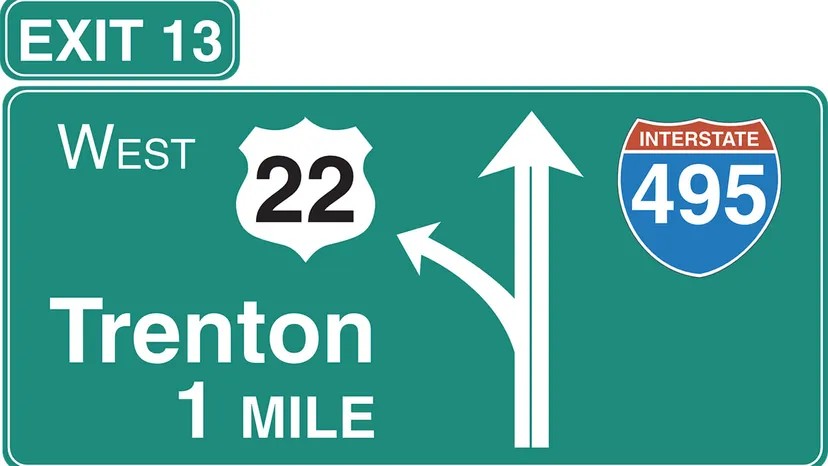
Those are spurs or loops. They connect back to a primary two-digit highway. The last two digits tell you which parent route they belong to. I-285? The 85 tells you it relates to I-85. It’s a loop around Atlanta. I-495? It’s a beltway around Washington D.C., connecting to I-95.
If the first digit of the three-digit number is odd, the route is a spur
Decoding the Shield: What the Digits Actually Mean
You’re cruising down the asphalt, shield-shaped signs flashing by in red, white, and blue. The Interstate Highway System didn’t just move freight; it moved culture. It spawned the truck stop, the suburb, and the very idea of the road trip. But as you merge onto I-5 or zip through the beltway, have you ever stopped to wonder why the numbers are what they are? Why is there an I-480 but no I-80 loop there?
The digits aren’t random. They’re a code.
How to Read Auxiliary Interstate Highways
The number of digits tells you the scale. One or two digits? That’s a primary artery connecting major regions. Think I-95. Three digits? You’re looking at an auxiliary interstate highway. These serve a single metropolitan area and feed into those longer two-digit highways.
The trick is in the last two digits. They match the parent highway. Take I-480 in Omaha. It’s a short 5-mile connector linking I-80 in Nebraska to I-29 in Iowa. In Atlanta, I-285 circles the city, grabbing traffic from I-85 as it heads north and south.
But the first digit of that three-digit number gets specific about function. Odd first digits? Those are connectors or spurs. They intersect the parent highway just once. Even first digits? Those are bypasses or loops. They touch the main line in two spots, letting you skip the downtown grind.
East-West vs. North-South Numbering
The grid is logical. Even-numbered interstates run east-west. Odd-numbered ones go north-south.
For the horizontal routes, numbering starts in the south and climbs north. I-10 anchors the bottom, stretching from Santa Monica, California, to Jacksonville, Florida. High up near the Canadian border, you’ve got I-90, running from Seattle to Boston.
Vertical routes start in the west. I-5 hugs the Pacific Coast. As you move east, the numbers jump. The easternmost vertical line is I-95, tracking the Atlantic seaboard from Miami up to Houlton, Maine.
There are glitches, of course. Roads get built later. I-99 didn’t get its interstate designation until 1998. It sits west of I-95 in Pennsylvania, breaking the “odd numbers increase eastward” rule simply because it came after the framework was set.
When the System Breaks Down
Sometimes, geography wins. Two interstates split their identity in major metro areas. In Minneapolis-St. Paul, I-35 divides into I-35E and I-35W. The same split happens in the Dallas-Fort Worth corridor. It’s the only time you see that E/W suffix on a primary route.
Then there are the ghost connections. In San Francisco, you’ll see I-238. But there is no I-38. That’s because California had a tangled web of existing roads. The numbers were already taken by state routes, so planners grabbed 238 to connect I-880 and I-580, ignoring the parent number rule.
And let’s not forget the non-contiguous states. Alaska has A1 through A4. Hawaii has H1 through H3. Puerto Rico has PR1 and PR2. They are technically part of the system, even if they don’t connect to the continental grid.
State vs. Federal: A Flip of the Script
State highways use similar black-and-white badges, but the logic flips. North-south routes are odd. East-west are even. But the progression is reversed compared to the interstates. On state roads, east-west numbers get larger as you move south. North-south numbers increase as you move west across the state.
Unique Identifiers and Longest Routes
Major primary interstates never repeat. I-80 is unique. But secondary roads? They can share numbers across state lines. New York and North Carolina both have an I-87. Colorado and Pennsylvania both have an I-76.
Three-digit interstates, however, are unique within a single state. You won’t find two I-285 s in Georgia. But you can find an I-285 in multiple states, provided they aren’t in the same one.
As for who holds the crown? I-90 is the longest, stretching nearly 3,100 miles from Boston to Seattle. It crosses 13 states. I-95 cuts through the most states—15—including Washington, D.C. It runs from Miami to Maine, a continuous line of concrete and asphalt that defines the East Coast.
The numbers tell a story of engineering, bureaucracy, and geography. They aren’t just labels. They’re instructions.